Diagram template
Geographic globe
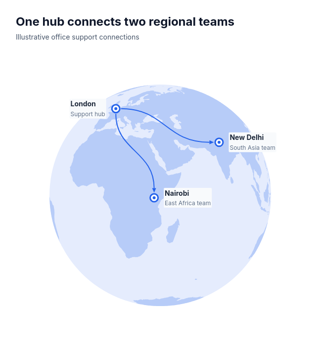
MaxA geographic Earth positions a supplied business hub and one to four regional locations using sourced orthographic coordinates. Direct arrows retain supplied connections, with continuous land and upright role captions.
Categories
Included in
Max
When to use it
Office support, regional coordination and service coverage between two to five catalogued cities in the fixed 40°E equatorial orthographic hemisphere. Every supplied regional location receives one explicit directed connection from the same hub. Exact Natural Earth positions never move to fit labels. Arrows express connectivity, not travel paths, distances, amounts or flow. No arbitrary-name geocoding, unsupported locations, reverse connections or inferred links; overlapping city markers, crowded labels and connections crossing another city remain explicit layout failures.
Adjust after generating
Change the style, colors, and font, and these options, as often as you like without spending credits.
- Typography
- Material
What you fill in
Describe your topic in plain words and the AI fills these in. You can edit every field afterwards.
- Nodes
- 2 to 5, each with id and description
- Edges
- 1 to 4, each with from and to
Related templates
All map templates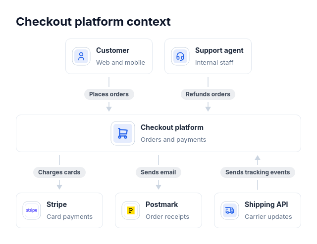 Architecture: system contextA C4 system context diagram, a "who uses it and what it depends on" slide, or an integration overview: one system, one to four actors that use it, and one to five external systems it calls or that call it, each link saying what it does.
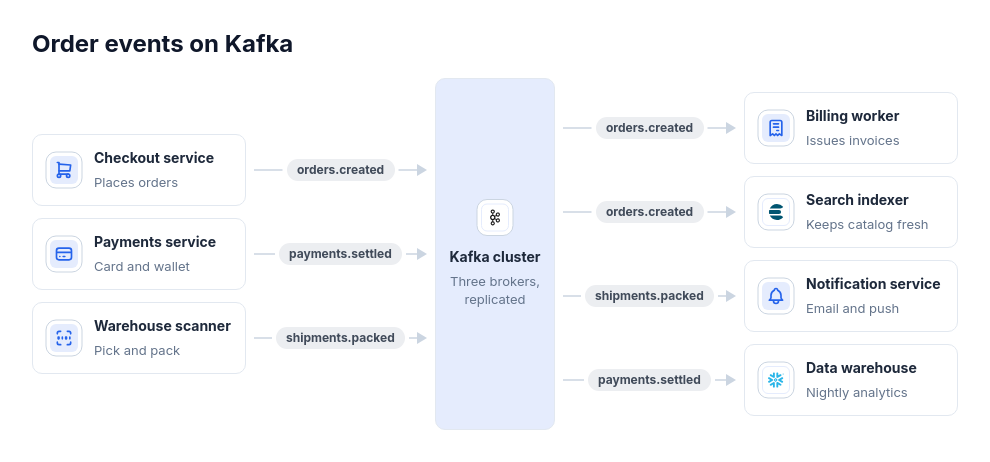 Architecture: event hubEvent flows through one broker, bus, or topic hub with one to five producers and one to five consumers, such as Kafka topics, Google Pub/Sub, SNS fanning out to SQS queues, EventBridge rules, or a webhook gateway delivering to several handlers; built for fan-in and fan-out.
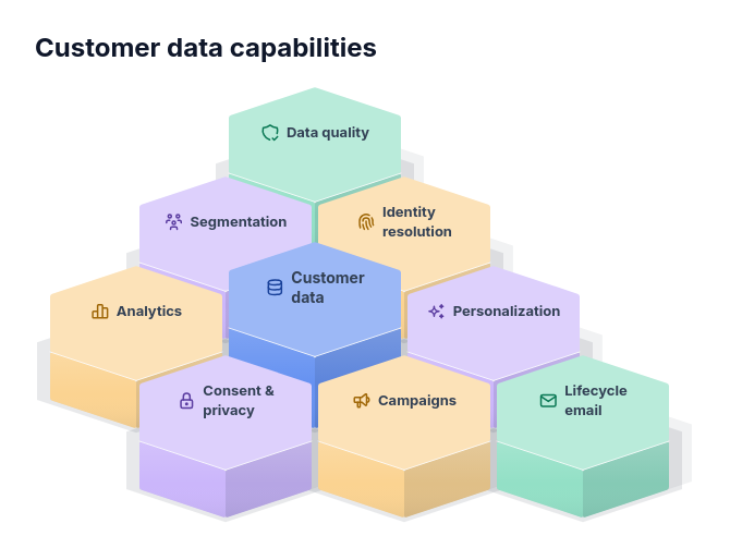 Framework: hexagonal prism clusterCapabilities around a core offer, skills around a team's purpose, services around a platform or workstreams around a programme goal, where which parts sit next to each other matters.
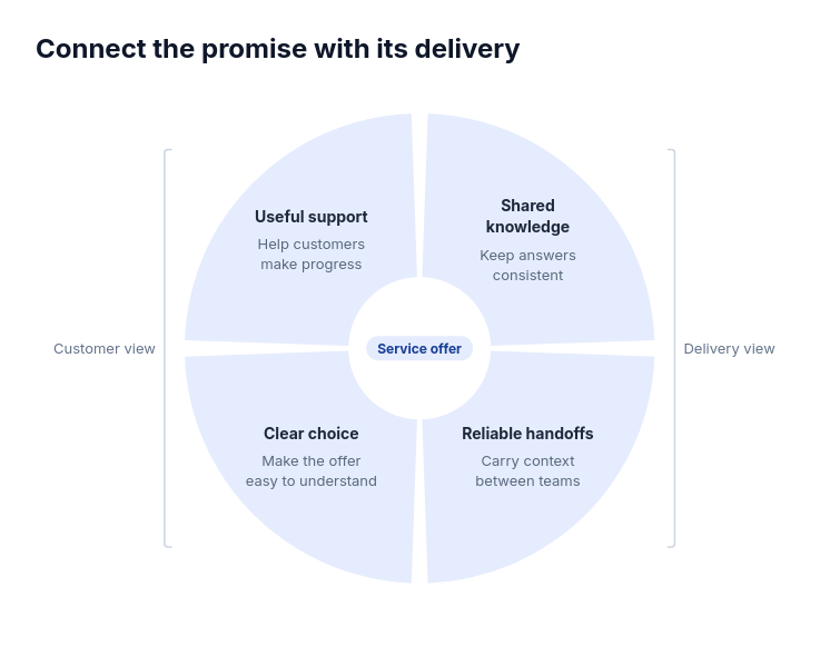 Framework: quarter ringOffer design with demand and delivery; Programme inputs and outcomes; Partnership contribution and support.
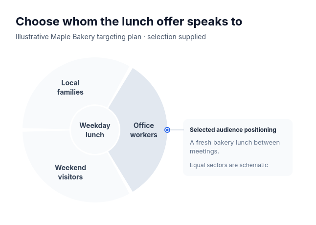 Framework: ring sectorsFor one supplied choice among three or four considered options with a single statement about the selected one: a target audience and its positioning, a pilot region and why it goes first, a shortlisted vendor and the deciding reason, or a chosen scenario and its premise.
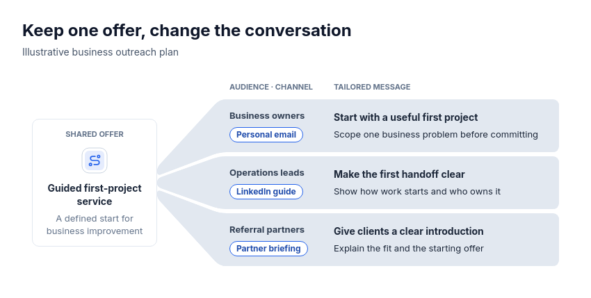 Framework: shared source fanFor one shared basis adapted per branch: an offer tailored to audiences with their channels, a platform packaged into tiers with their prices, a policy applied per region with its owner, or a curriculum adapted per cohort with its format.